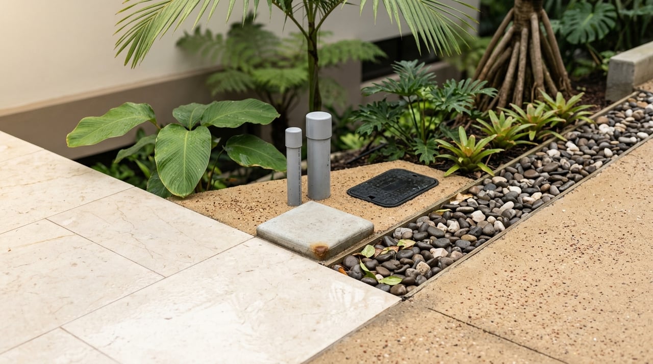
Due Diligence for Uvita Coastal Land: Essential Buyer Checks
July 9, 2026
July 9, 2026
If you are buying coastal land in Uvita, the view alone should never make the decision for you. In this part of Bahía Ballena, one beautiful parcel can be straightforward to buy and build on, while the next can involve coastal restrictions, environmental limits, access issues, or utility hurdles. The good news is that a careful due diligence process can help you spot those differences early and move forward with more confidence. Let’s dive in.
Uvita sits in Bahía Ballena in Osa canton, an area identified by the municipality as low-elevation coastal terrain. It also borders a sensitive marine-coastal setting tied to Marino Ballena National Park, which protects ecosystems such as beaches, mangroves, estuaries, cliffs, and reef areas.
That local context matters because not all land in Uvita works the same way. A lot near the beach, near mangroves, on a hillside, or close to protected areas may follow a different legal and practical path than an inland parcel. Before you focus on design ideas or resale potential, you need to confirm what the land actually allows.
One of the first steps is to order a registry study and compare it with the cadastral plan. Costa Rica’s Registro Inmobiliario is designed to manage property rights and other registrable rights, and its public record is treated as certain and exact.
This check helps you confirm that the property description, boundaries, ownership record, and legal status line up correctly. If the registry and cadastral plan do not match, that issue should be clarified before you move forward.
A coastal land purchase should never rely only on marketing materials or verbal explanations. You want the registry study and cadastral plan reviewed together so you can confirm exactly what is being sold.
This early comparison can also reveal whether the parcel is normal titled property, whether there are access questions, or whether additional legal review is needed. It is a basic step, but it can prevent expensive surprises later.
In Costa Rica, the Maritime-Terrestrial Zone, or ZMT, is a 200-meter strip measured from the ordinary high tide line. The first 50 meters are the public zone, and the remaining 150 meters are the restricted zone. Mangroves and estuaries are also part of the public zone.
That means a parcel near the shoreline may not be standard titled private land. It may be concession land, or it may be affected in part by public-zone or restricted-zone rules.
If a parcel is within or touches the ZMT, the legal path changes. The Costa Rican Tourism Institute indicates that coastal municipalities submit concession dossiers for review under the master plan in force before a concession can be entered into the Public Registry.
Osa’s own ZMT checklist also points to requirements such as an active concession file, an attorney-authenticated application, a cadastral plan, an inspection request, and proof related to Patrimonio Natural del Estado. In practical terms, you should confirm whether you are buying titled land, concession land, or land affected by public coastal rules before any non-refundable money changes hands.
Access is just as important as title. A parcel can look excellent on paper, but if it does not have direct and usable legal access, your project may become more complicated than expected.
Costa Rican registry rules contemplate cases where a parcel has no frontage to a public street. In that case, a servidumbre de paso must be constituted so the access appears in the registral record.
You should verify whether the lot reaches a public road directly or depends on a private easement. If it depends on an easement, the key question is whether that easement is properly recorded and usable for what you plan to do.
For example, a future home site, a multi-lot concept, or a development parcel may each place different demands on access. During due diligence, recorded access should be reviewed with the same seriousness as the title itself.
In Osa, the municipal FAQ says buyers should begin with a cadastral plan and escritura to request the uso de suelo criterion. After that, buyers should obtain a water-availability note from ASADA or AyA and an electricity note from ICE before hiring an architect or engineer.
This sequence is helpful because it keeps you from spending money on design work before confirming basic feasibility. A beautiful lot is not necessarily a practical lot if utility availability is unclear.
AyA states that the constancia de disponibilidad of services is administrative proof of actual water and sanitation capacity at the property boundary. It is not a construction authorization.
AyA also states that for special-regime lands such as ZMT, the applicant must present authorization from the governing entity for that land. The constancia is normally valid for 12 months, with renewal possible if project conditions remain the same.
A common mistake with land purchases is assuming that total lot size equals usable building area. In Uvita, that assumption can be risky, especially on hillside or ravine-edge parcels.
Topography, drainage, setbacks, and alignments can all affect what you can actually build. A lot may look large in an aerial image but still offer a smaller practical building envelope than expected.
Costa Rican permit rules commonly require a topographic cadastral plan visado by the municipality. Osa’s permit guidance also refers to municipal visados and alignments for roads and watercourses.
In plain language, you should have a surveyor and engineer confirm slope, drainage patterns, and the true usable area before you assume the lot can support your intended home or project pad. This is especially important if the land has steep sections or irregular terrain.
Environmental and safety issues are not limited to beachfront parcels. Osa’s construction rules also require fluvial alignment for rivers, lakes, quebradas, and similar watercourses.
If a parcel sits near a watercourse, the buildable area may be reduced or shaped by required setbacks and alignment conditions. On hillside land, runoff and drainage can also affect both safety and development cost.
A parcel may offer ocean views, jungle edges, or dramatic topography and still be difficult to develop. The challenge is not always obvious during a quick site visit.
That is why you should confirm the real buildable envelope, not just the lot boundaries. Good due diligence helps you understand whether the land is workable in both legal and physical terms.
SETENA’s D1 guidance states that environmental evaluation applies to activities, works, and projects in categories B2, B1, and A. SETENA also explains that environmental review can apply to land-use planning and can result in environmental viability.
For buyers, the main takeaway is simple. Environmental review is not only for very large projects. Depending on the parcel and the type of development involved, environmental review may become part of the path forward.
Marino Ballena National Park exists to protect marine-coastal ecosystems, including beaches, mangroves, cliffs, estuaries, and reef environments. That makes Uvita a remarkable place to buy land, but it also means some parcels may face environmental constraints that affect timing, cost, or feasibility.
If a lot is near protected shoreline, mangroves, estuaries, or other sensitive features, you should ask counsel and technical professionals to confirm the exact review path as early as possible.
Before you commit to coastal land in Uvita, make sure you have covered these essentials:
Buying coastal land in Uvita can be a smart lifestyle and investment move, but only if the parcel proves to be legally clear, accessible, buildable, and environmentally workable. In this market, the difference between a strong purchase and a difficult one often comes down to what you verify before closing.
At Tropical Investments, that kind of clarity matters. With local roots in the Southern Pacific, bilingual guidance, and a process shaped by engineering-minded detail and transparent advisory, the team helps buyers look beyond the view and understand the full picture. If you are exploring land in Uvita and want grounded local support, start by browsing opportunities with Tropical Investments.

It would be our honor to help you find the perfect Costa Rica real estate opportunity that matches your lifestyle and interests. Connect with us to get started on your real estate in Costa Rica journey!

Plaza Coco Uvita Local 6 2nd FL, Bahia Ballena, Puntarenas 60504, Costa Rica